
Thank you for supporting this site ❤️
Make a donation
Make a donation
Kalyan Nagar topographic map
Click on the map to display elevation.
Thank you for supporting this site ❤️
Make a donation
Make a donation
About this map
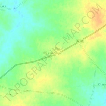
Name: Kalyan Nagar topographic map, elevation, terrain.
Location: Kalyan Nagar, Majalgaon, Beed District, Maharashtra, India (19.14023 76.25728 19.18023 76.29728)
Average elevation: 419 m
Minimum elevation: 403 m
Maximum elevation: 436 m
Thank you for supporting this site ❤️
Make a donation
Make a donation