
Rocky Ford topographic map
Interactive map
Click on the map to display elevation.
About this map
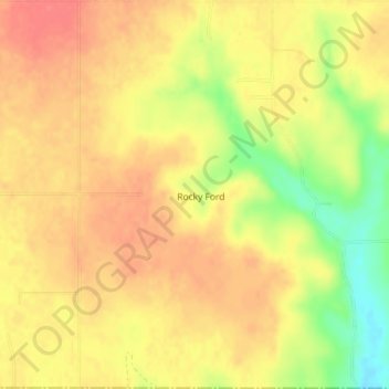
Name: Rocky Ford topographic map, elevation, terrain.
Location: Rocky Ford, Delaware County, Oklahoma, United States (36.16153 -94.92244 36.19058 -94.89650)
Average elevation: 338 m
Minimum elevation: 297 m
Maximum elevation: 360 m