
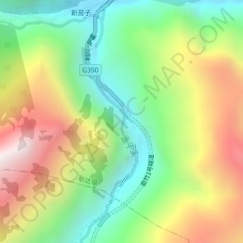
渔子溪 topographic map
Interactive map
Click on the map to display elevation.
About this map
Name: 渔子溪 topographic map, elevation, terrain.
Location: 渔子溪, 新房子, 耿达镇, 汶川卧龙特别行政区, 汶川县, 阿坝藏族羌族自治州, 四川省, 中国 (31.10023 103.25010 31.11632 103.25711)
Average elevation: 2,166 m
Minimum elevation: 1,645 m
Maximum elevation: 2,884 m