
Kochstetten topographic map
Interactive map
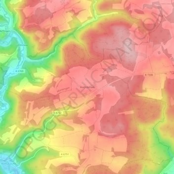
Click on the map to display elevation.
About this map
Name: Kochstetten topographic map, elevation, terrain.
Average elevation: 711 m
Minimum elevation: 578 m
Maximum elevation: 778 m
Other topographic maps
Click on a map to view its topography, its elevation and its terrain.
Münzdorf
Deutschland > Baden-Württemberg > Landkreis Reutlingen > Hayingen
Münzdorf, Hayingen, Gemeindeverwaltungsverband Zwiefalten-Hayingen, Landkreis Reutlingen, Baden-Württemberg, 72534, Deutschland
Average elevation: 684 m