
甘丹曲果镇 topographic map
Interactive map
Click on the map to display elevation.
About this map
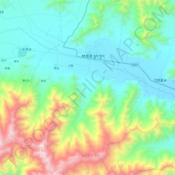
Name: 甘丹曲果镇 topographic map, elevation, terrain.
Location: 甘丹曲果镇, 林周县, 拉萨市, 西藏自治区, 中国 (29.75730 91.15122 29.96030 91.33382)
Average elevation: 4,188 m
Minimum elevation: 3,734 m
Maximum elevation: 5,426 m
Other topographic maps
Click on a map to view its topography, its elevation and its terrain.