
Thank you for supporting this site ❤️
Make a donation
Make a donation
Rozet topographic map
Click on the map to display elevation.
Thank you for supporting this site ❤️
Make a donation
Make a donation
About this map
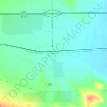
Name: Rozet topographic map, elevation, terrain.
Location: Rozet, Campbell County, Wyoming, United States (44.25810 -105.22516 44.29810 -105.18516)
Average elevation: 1,311 m
Minimum elevation: 1,298 m
Maximum elevation: 1,348 m
Thank you for supporting this site ❤️
Make a donation
Make a donation
Other topographic maps
Click on a map to view its topography, its elevation and its terrain.