
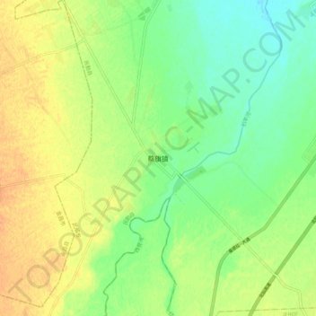
蔡旗镇 topographic map
Interactive map
Click on the map to display elevation.
About this map
Name: 蔡旗镇 topographic map, elevation, terrain.
Location: 蔡旗镇, 武威市, 甘肃省, 中国 (38.18066 102.70631 38.26066 102.78631)
Average elevation: 1,450 m
Minimum elevation: 1,434 m
Maximum elevation: 1,465 m
Other topographic maps
Click on a map to view its topography, its elevation and its terrain.