
Thank you for supporting this site ❤️
Make a donation
Make a donation
Les Fabres topographic map
Click on the map to display elevation.
Thank you for supporting this site ❤️
Make a donation
Make a donation
About this map
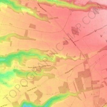
Name: Les Fabres topographic map, elevation, terrain.
Average elevation: 637 m
Minimum elevation: 538 m
Maximum elevation: 673 m
Thank you for supporting this site ❤️
Make a donation
Make a donation
Other topographic maps
Click on a map to view its topography, its elevation and its terrain.
Le Verdon
France > Provence-Alpes-Côte d'Azur > Alpes-de-Haute-Provence > Montagnac-Montpezat
Average elevation: 509 m