
Thank you for supporting this site ❤️
Make a donation
Make a donation
Falta topographic map
Click on the map to display elevation.
Thank you for supporting this site ❤️
Make a donation
Make a donation
Falta
The Falta CD block is located at 22°18′07″N 88°07′42″E / 22.3020°N 88.1284°E / 22.3020; 88.1284. It has an average elevation of 8 metres (26 ft).
Thank you for supporting this site ❤️
Make a donation
Make a donation
About this map
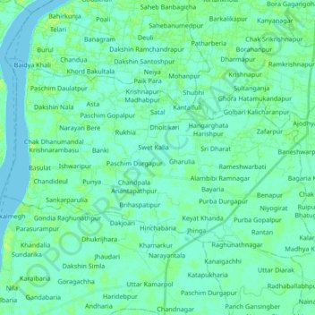
Name: Falta topographic map, elevation, terrain.
Location: Falta, South 24 Parganas, West Bengal, 743504, India (22.25204 88.08776 22.36033 88.27274)
Average elevation: 4 m
Minimum elevation: -1 m
Maximum elevation: 14 m
Thank you for supporting this site ❤️
Make a donation
Make a donation
Other topographic maps
Click on a map to view its topography, its elevation and its terrain.