
楼山街道 topographic map
Interactive map
Click on the map to display elevation.
About this map
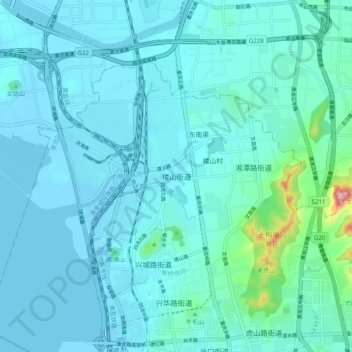
Name: 楼山街道 topographic map, elevation, terrain.
Location: 楼山街道, 李沧区, 青岛市, 山东省, 266021, 中国 (36.17241 120.34759 36.25241 120.42759)
Average elevation: 27 m
Minimum elevation: -3 m
Maximum elevation: 259 m