Geolocate

遂宁市 topographic map

Interactive map

Click on the map to display elevation.

About this map

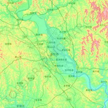
Name: 遂宁市 topographic map, elevation, terrain.

Location: 遂宁市, 船山区, 遂宁市, 四川省, 中国 (30.34615 105.41454 30.66615 105.73454)

Average elevation: 329 m

Minimum elevation: 247 m

Maximum elevation: 521 m

Other topographic maps

Click on a map to view its topography, its elevation and its terrain.

八里沟

中国 > 四川省 > 遂宁市

八里沟, 遂宁市, 四川省, 中国

Average elevation: 403 m

金华镇

中国 > 四川省 > 遂宁市

金华镇, 遂宁市, 四川省, 中国

Average elevation: 416 m

涪江

中国 > 四川省 > 遂宁市

涪江, 遂宁市, 四川省, 中国

Average elevation: 388 m

船山区

中国 > 四川省 > 遂宁市

船山区, 遂宁市, 四川省, 629018, 中国

Average elevation: 329 m

王家坝

中国 > 四川省 > 遂宁市 > 王家坝

王家坝, 遂宁市, 四川省, 中国

Average elevation: 352 m

蓬溪县

中国 > 四川省 > 遂宁市

蓬溪县, 遂宁市, 四川省, 中国

Average elevation: 349 m