
淄河 topographic map
Interactive map
Click on the map to display elevation.
About this map
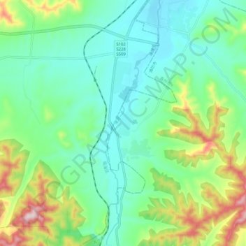
Name: 淄河 topographic map, elevation, terrain.
Location: 淄河, 临淄区, 淄博市, 山东省, 255438, 中国 (36.64220 118.20995 36.72406 118.23251)
Average elevation: 207 m
Minimum elevation: 93 m
Maximum elevation: 501 m