
Thank you for supporting this site ❤️
Make a donation
Make a donation
83024 topographic map
Click on the map to display elevation.
Thank you for supporting this site ❤️
Make a donation
Make a donation
About this map
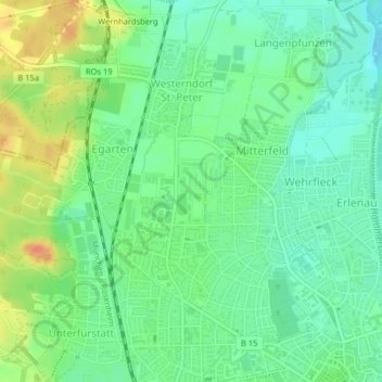
Name: 83024 topographic map, elevation, terrain.
Location: 83024, Westerndorf St. Peter, Rosenheim, Bayern, Deutschland (47.85189 12.07647 47.88703 12.13893)
Average elevation: 453 m
Minimum elevation: 435 m
Maximum elevation: 490 m
Thank you for supporting this site ❤️
Make a donation
Make a donation
Other topographic maps
Click on a map to view its topography, its elevation and its terrain.