
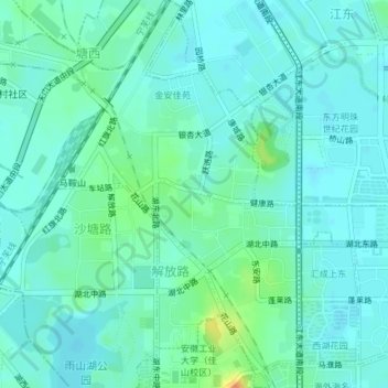
解放路街道 topographic map
Interactive map
Click on the map to display elevation.
About this map
Name: 解放路街道 topographic map, elevation, terrain.
Location: 解放路街道, 花山区, 马鞍山市, 安徽省, 243000, 中国 (31.69180 118.49540 31.72317 118.52406)
Average elevation: 13 m
Minimum elevation: 5 m
Maximum elevation: 40 m