Geolocate

Art topographic map

Interactive map

Click on the map to display elevation.

About this map

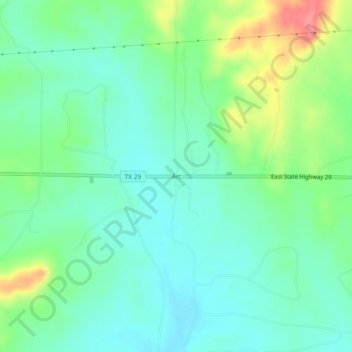
Name: Art topographic map, elevation, terrain.

Location: Art, Mason County, Texas, United States (30.71851 -99.13144 30.75851 -99.09144)

Average elevation: 426 m

Minimum elevation: 402 m

Maximum elevation: 481 m

Other topographic maps

Click on a map to view its topography, its elevation and its terrain.

Grit

United States > Texas > Mason County

Grit, Mason County, Texas, United States

Average elevation: 529 m

Fredonia

United States > Texas > Mason County

Fredonia, Mason County, Texas, 76842, United States

Average elevation: 509 m

Pontotoc

United States > Texas > Mason County

Pontotoc, Mason County, Texas, 76869, United States

Average elevation: 470 m

Mason

United States > Texas > Mason County

Mason, Mason County, Texas, 76856, United States

Average elevation: 484 m

Streeter

United States > Texas > Mason County

Streeter, Mason County, Texas, United States

Average elevation: 521 m