Geolocate

Bhemai topographic map

Interactive map

Click on the map to display elevation.

About this map

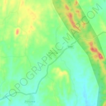
Name: Bhemai topographic map, elevation, terrain.

Location: Bhemai, Galiakot Tehsil, Dungarpur District, Rajasthan, India (23.54121 73.90288 23.58121 73.94288)

Average elevation: 187 m

Minimum elevation: 149 m

Maximum elevation: 252 m

Other topographic maps

Click on a map to view its topography, its elevation and its terrain.

Nadiya

India > Rajasthan > Galiakot Tehsil

Nadiya, Galiakot Tehsil, Dungarpur District, Rajasthan, India

Average elevation: 148 m

Silohi

India > Rajasthan > Galiakot Tehsil

Silohi, Galiakot Tehsil, Dungarpur District, Rajasthan, 314026, India

Average elevation: 140 m

Daiyana

India > Rajasthan > Galiakot Tehsil

Daiyana, Galiakot Tehsil, Dungarpur District, Rajasthan, India

Average elevation: 160 m