
Thank you for supporting this site ❤️
Make a donation
Make a donation
Devil Lake topographic map
Click on the map to display elevation.
Thank you for supporting this site ❤️
Make a donation
Make a donation
About this map
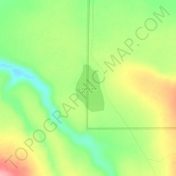
Name: Devil Lake topographic map, elevation, terrain.
Location: Devil Lake, Klamath County, Oregon, United States (42.31297 -120.96207 42.32027 -120.95598)
Average elevation: 1,474 m
Minimum elevation: 1,416 m
Maximum elevation: 1,543 m
Thank you for supporting this site ❤️
Make a donation
Make a donation