
Vieux Ténès topographic map
Interactive map
Click on the map to display elevation.
About this map
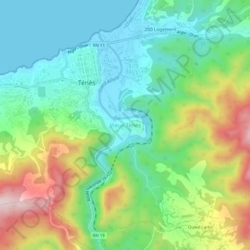
Name: Vieux Ténès topographic map, elevation, terrain.
Location: Vieux Ténès, Ténès, Daïra Ténès, Chlef, 02006, Algérie (36.48128 1.29551 36.52128 1.33551)
Average elevation: 133 m
Minimum elevation: -2 m
Maximum elevation: 400 m