
Granite Falls topographic map
Interactive map
Click on the map to display elevation.
About this map
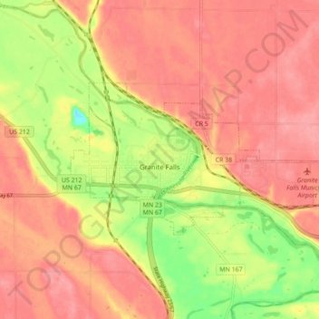
Name: Granite Falls topographic map, elevation, terrain.
Average elevation: 298 m
Minimum elevation: 240 m
Maximum elevation: 329 m
Other topographic maps
Click on a map to view its topography, its elevation and its terrain.
Canby
United States > Minnesota > Yellow Medicine County
Canby, Yellow Medicine County, Minnesota, United States
Average elevation: 374 m