
Plymouth topographic map
Interactive map
Click on the map to display elevation.
About this map
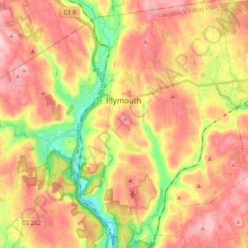
Name: Plymouth topographic map, elevation, terrain.
Location: Plymouth, Litchfield County, Connecticut, United States (41.60976 -73.06480 41.71441 -72.98324)
Average elevation: 214 m
Minimum elevation: 84 m
Maximum elevation: 317 m