
Gladewater topographic map
Interactive map
Click on the map to display elevation.
About this map
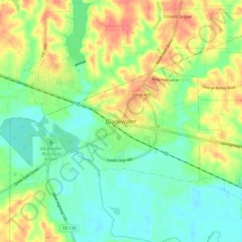
Name: Gladewater topographic map, elevation, terrain.
Location: Gladewater, Gregg County, Texas, 75647, United States (32.49653 -94.98272 32.57653 -94.90272)
Average elevation: 99 m
Minimum elevation: 76 m
Maximum elevation: 134 m