
Imnaha topographic map
Interactive map
Click on the map to display elevation.
About this map
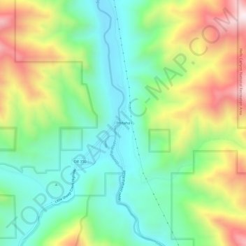
Name: Imnaha topographic map, elevation, terrain.
Location: Imnaha, Wallowa County, Oregon, 97842, United States (45.53932 -116.85321 45.57932 -116.81321)
Average elevation: 861 m
Minimum elevation: 576 m
Maximum elevation: 1,363 m