
Knip topographic map
Interactive map
Click on the map to display elevation.
About this map
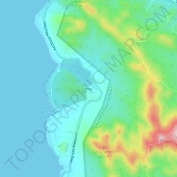
Name: Knip topographic map, elevation, terrain.
Location: Knip, Curaçao, 932250, Nederland (12.32667 -69.16452 12.36667 -69.12452)
Average elevation: 64 m
Minimum elevation: 0 m
Maximum elevation: 291 m