
孔家庄 topographic map
Interactive map
Click on the map to display elevation.
About this map
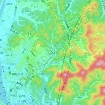
Name: 孔家庄 topographic map, elevation, terrain.
Location: 孔家庄, 东岭坞村, 蚺城街道, 婺源县, 上饶市, 江西省, 中国 (29.25260 117.85191 29.29260 117.89191)
Average elevation: 126 m
Minimum elevation: 59 m
Maximum elevation: 263 m