
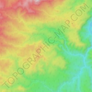
Sungai Merah topographic map
Interactive map
Click on the map to display elevation.
About this map
Name: Sungai Merah topographic map, elevation, terrain.
Average elevation: 1,061 m
Minimum elevation: 423 m
Maximum elevation: 1,924 m
Other topographic maps
Click on a map to view its topography, its elevation and its terrain.
Muara Kulam
Indonesia > South Sumatra > Ulu Rawas > Muara Kulam
Muara Kulam, Ulu Rawas, Musi Rawas Utara, South Sumatra, Indonesia
Average elevation: 160 m