
Monte Verena topographic map
Interactive map
Click on the map to display elevation.
About this map
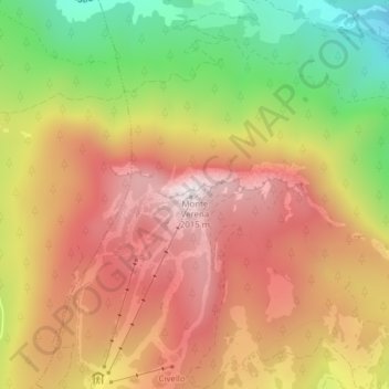
Name: Monte Verena topographic map, elevation, terrain.
Location: Monte Verena, Roana, Vicenza, Veneto, Italia (45.93061 11.41383 45.93071 11.41393)
Average elevation: 1,638 m
Minimum elevation: 1,169 m
Maximum elevation: 2,005 m