
Kadı topographic map
Interactive map
Click on the map to display elevation.
About this map
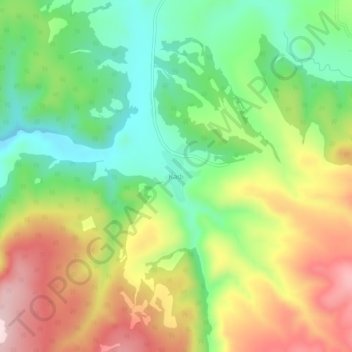
Name: Kadı topographic map, elevation, terrain.
Location: Kadı, Yıldızeli, Sivas, Central Anatolia Region, Turkey (39.73063 36.30074 39.77063 36.34074)
Average elevation: 1,444 m
Minimum elevation: 1,286 m
Maximum elevation: 1,653 m