
Thank you for supporting this site ❤️
Make a donation
Make a donation
Bunde topographic map
Click on the map to display elevation.
Thank you for supporting this site ❤️
Make a donation
Make a donation
About this map
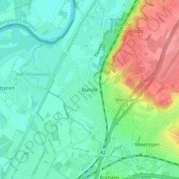
Name: Bunde topographic map, elevation, terrain.
Location: Bunde, Meerssen, Limburg, Nederland, 6241, Nederland (50.87741 5.71254 50.91741 5.75254)
Average elevation: 60 m
Minimum elevation: 34 m
Maximum elevation: 118 m
Thank you for supporting this site ❤️
Make a donation
Make a donation