
Tahlequah topographic map
Interactive map
Click on the map to display elevation.
About this map
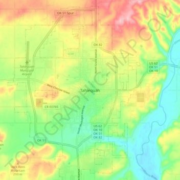
Name: Tahlequah topographic map, elevation, terrain.
Location: Tahlequah, Cherokee County, Oklahoma, 74464, United States (35.87537 -95.00996 35.95537 -94.92996)
Average elevation: 261 m
Minimum elevation: 200 m
Maximum elevation: 341 m