
Thank you for supporting this site ❤️
Make a donation
Make a donation
Tigre topographic map
Click on the map to display elevation.
Thank you for supporting this site ❤️
Make a donation
Make a donation
About this map
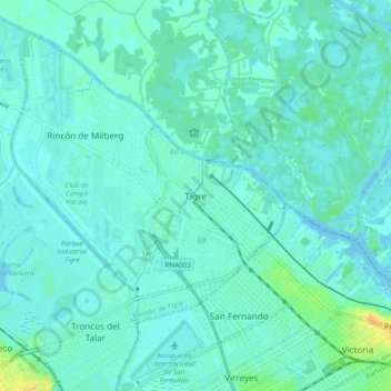
Name: Tigre topographic map, elevation, terrain.
Location: Tigre, Partido de Tigre, Buenos Aires, 1648, Argentina (-34.46265 -58.62090 -34.38265 -58.54090)
Average elevation: 5 m
Minimum elevation: -2 m
Maximum elevation: 27 m
Thank you for supporting this site ❤️
Make a donation
Make a donation