
Butler topographic map
Interactive map
Click on the map to display elevation.
About this map
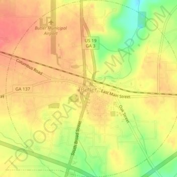
Name: Butler topographic map, elevation, terrain.
Location: Butler, Taylor County, Georgia, 31006, United States (32.54269 -84.25449 32.57183 -84.22014)
Average elevation: 189 m
Minimum elevation: 149 m
Maximum elevation: 211 m