
Dereia topographic map
Interactive map
Click on the map to display elevation.
About this map
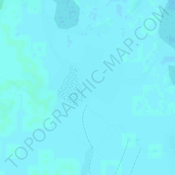
Name: Dereia topographic map, elevation, terrain.
Location: Dereia, Kosti, White Nile State, Sudan (12.10667 32.62333 12.12667 32.64333)
Average elevation: 387 m
Minimum elevation: 386 m
Maximum elevation: 389 m