
Rochester topographic map
Interactive map
Click on the map to display elevation.
About this map
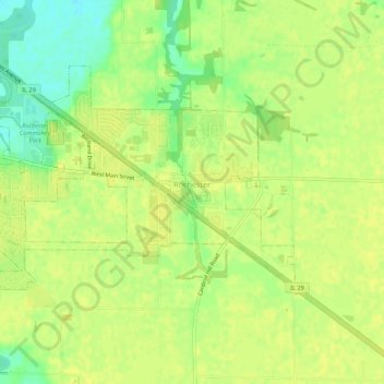
Name: Rochester topographic map, elevation, terrain.
Location: Rochester, Sangamon County, Illinois, United States (39.73114 -89.57143 39.76623 -89.51717)
Average elevation: 175 m
Minimum elevation: 160 m
Maximum elevation: 181 m