
Stone Gate topographic map
Interactive map
Click on the map to display elevation.
About this map
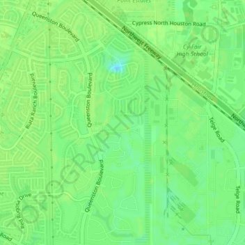
Name: Stone Gate topographic map, elevation, terrain.
Location: Stone Gate, Harris County, Texas, United States (29.91812 -95.67310 29.94853 -95.65957)
Average elevation: 42 m
Minimum elevation: 34 m
Maximum elevation: 45 m