
黄草岭村 topographic map
Interactive map
Click on the map to display elevation.
About this map
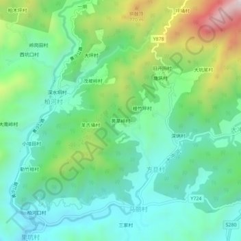
Name: 黄草岭村 topographic map, elevation, terrain.
Location: 黄草岭村, 高州市, 茂名市, 广东省, 中国 (22.17640 111.20759 22.21640 111.24759)
Average elevation: 485 m
Minimum elevation: 263 m
Maximum elevation: 1,035 m
Other topographic maps
Click on a map to view its topography, its elevation and its terrain.