
Castra topographic map
Interactive map
Click on the map to display elevation.
About this map
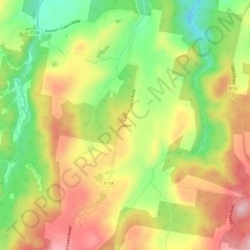
Name: Castra topographic map, elevation, terrain.
Location: Castra, Tasmania, Australia (-41.32140 146.09418 -41.28140 146.13418)
Average elevation: 327 m
Minimum elevation: 211 m
Maximum elevation: 440 m