
Cash topographic map
Interactive map
Click on the map to display elevation.
About this map
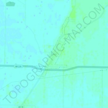
Name: Cash topographic map, elevation, terrain.
Location: Cash, Craighead County, Arkansas, 72421, United States (35.77904 -90.95361 35.81904 -90.91361)
Average elevation: 75 m
Minimum elevation: 72 m
Maximum elevation: 80 m