
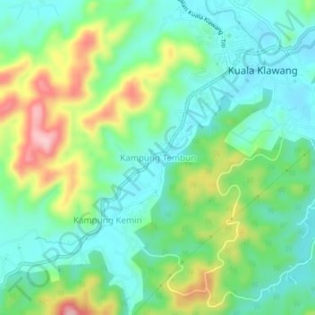
Kampung Tembun topographic map
Interactive map
Click on the map to display elevation.
About this map
Name: Kampung Tembun topographic map, elevation, terrain.
Location: Kampung Tembun, Jelebu, Negeri Sembilan, 71600, Malaysia (2.90551 102.04069 2.94551 102.08069)
Average elevation: 177 m
Minimum elevation: 115 m
Maximum elevation: 310 m