
Caours topographic map
Interactive map
Click on the map to display elevation.
About this map
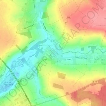
Name: Caours topographic map, elevation, terrain.
Average elevation: 44 m
Minimum elevation: 2 m
Maximum elevation: 88 m
Other topographic maps
Click on a map to view its topography, its elevation and its terrain.
Scardon
France > Hauts-de-France > Somme > Caours
Scardon, Caours, Abbeville, Somme, Hauts-de-France, France métropolitaine, 80132, France
Average elevation: 54 m