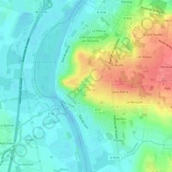
Montmerle-sur-Saône topographic map
Interactive map
Click on the map to display elevation.
About this map
Name: Montmerle-sur-Saône topographic map, elevation, terrain.
Average elevation: 186 m
Minimum elevation: 166 m
Maximum elevation: 234 m

Click on the map to display elevation.
Name: Montmerle-sur-Saône topographic map, elevation, terrain.
Average elevation: 186 m
Minimum elevation: 166 m
Maximum elevation: 234 m