
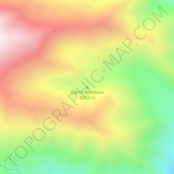
Cerro Montura topographic map
Interactive map
Click on the map to display elevation.
About this map
Name: Cerro Montura topographic map, elevation, terrain.
Average elevation: 4,100 m
Minimum elevation: 3,508 m
Maximum elevation: 4,658 m
Other topographic maps
Click on a map to view its topography, its elevation and its terrain.
Cerro de Los Potrerillos
Argentina > Mendoza > Distrito Uspallata
Cerro de Los Potrerillos, Distrito Uspallata, Departamento Las Heras, Mendoza, Argentina
Average elevation: 2,852 m