
Babanusah topographic map
Interactive map
Click on the map to display elevation.
About this map
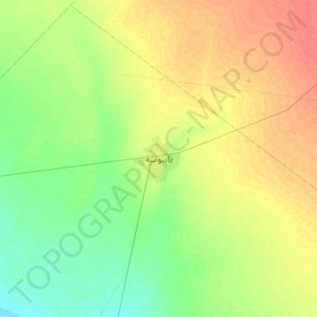
Name: Babanusah topographic map, elevation, terrain.
Location: Babanusah, Abyei, West Kurdufan, Sudan (11.17055 27.64958 11.49055 27.96958)
Average elevation: 452 m
Minimum elevation: 434 m
Maximum elevation: 474 m