
Snake Indian Falls topographic map
Interactive map
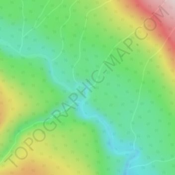
Click on the map to display elevation.
About this map
Name: Snake Indian Falls topographic map, elevation, terrain.
Average elevation: 1,367 m
Minimum elevation: 1,230 m
Maximum elevation: 1,615 m
Other topographic maps
Click on a map to view its topography, its elevation and its terrain.
Maligne Lake
Canada > Alberta > Improvement District No. 12
Maligne Lake, Improvement District No. 12, Alberta, Canada
Average elevation: 2,125 m
Mount Kerkeslin
Canada > Alberta > Improvement District No. 12
Mount Kerkeslin, Improvement District No. 12, Alberta, Canada
Average elevation: 2,264 m