
Cape Meares topographic map
Interactive map
Click on the map to display elevation.
About this map
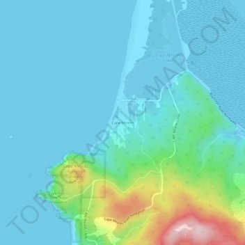
Name: Cape Meares topographic map, elevation, terrain.
Location: Cape Meares, Tillamook County, Oregon, 97134, USA (45.47812 -123.97862 45.51812 -123.93862)
Average elevation: 52 m
Minimum elevation: -2 m
Maximum elevation: 323 m