
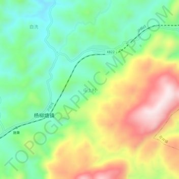
屯上村 topographic map
Interactive map
Click on the map to display elevation.
About this map
Name: 屯上村 topographic map, elevation, terrain.
Location: 屯上村, 杨柳塘, 施秉县, 黔东南苗族侗族自治州, 贵州省, 中国 (26.90940 108.13000 26.94940 108.17000)
Average elevation: 905 m
Minimum elevation: 707 m
Maximum elevation: 1,207 m
Other topographic maps
Click on a map to view its topography, its elevation and its terrain.