
顺化镇 topographic map
Interactive map
Click on the map to display elevation.
About this map
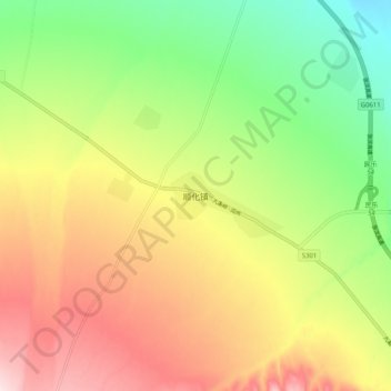
Name: 顺化镇 topographic map, elevation, terrain.
Location: 顺化镇, 民乐县, 张掖市, 甘肃省, 734500, 中国 (38.42656 100.67836 38.50656 100.75836)
Average elevation: 2,302 m
Minimum elevation: 2,126 m
Maximum elevation: 2,503 m
Other topographic maps
Click on a map to view its topography, its elevation and its terrain.