
卧龙镇 topographic map
Interactive map
Click on the map to display elevation.
About this map
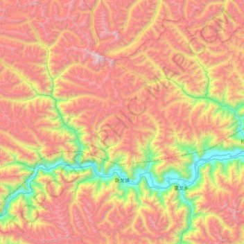
Name: 卧龙镇 topographic map, elevation, terrain.
Location: 卧龙镇, 米林市, 林芝市, 西藏自治区, 中国 (28.98590 93.12770 29.56646 93.80380)
Average elevation: 4,415 m
Minimum elevation: 2,932 m
Maximum elevation: 5,987 m
Other topographic maps
Click on a map to view its topography, its elevation and its terrain.