
Snowy Range topographic map
Interactive map
Click on the map to display elevation.
About this map
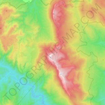
Name: Snowy Range topographic map, elevation, terrain.
Location: Snowy Range, Tasmania, Australia (-42.98380 146.62405 -42.84425 146.68808)
Average elevation: 670 m
Minimum elevation: 148 m
Maximum elevation: 1,389 m
Other topographic maps
Click on a map to view its topography, its elevation and its terrain.