
Wapiti River topographic map
Interactive map
Click on the map to display elevation.
About this map
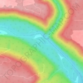
Name: Wapiti River topographic map, elevation, terrain.
Location: Wapiti River, Grande Prairie, Alberta, Canada (55.07536 -118.94797 55.07754 -118.93856)
Average elevation: 606 m
Minimum elevation: 522 m
Maximum elevation: 678 m
Other topographic maps
Click on a map to view its topography, its elevation and its terrain.
Grande Prairie
Canada > Alberta > Grande Prairie
Grande Prairie, City of Grande Prairie, Alberta, T8V 2X3, Canada
Average elevation: 668 m