
卜牙 topographic map
Interactive map
Click on the map to display elevation.
About this map
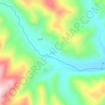
Name: 卜牙 topographic map, elevation, terrain.
Location: 卜牙, 稻城县, 甘孜藏族自治州, 四川省, 中国 (29.03880 100.16638 29.07880 100.20638)
Average elevation: 4,123 m
Minimum elevation: 3,895 m
Maximum elevation: 4,547 m
Other topographic maps
Click on a map to view its topography, its elevation and its terrain.